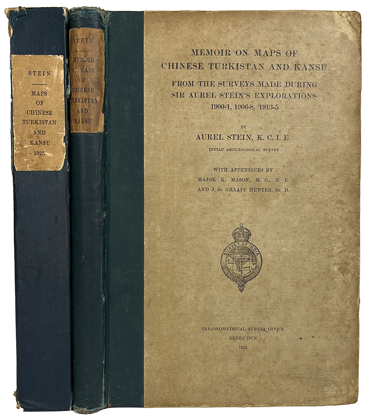
| 書名 | Memoir on Maps of Chinese Turkistan and Kansu from the Surveys Made during Sir Aurel Stein’s Explorations 1900-1, 1906-8, 1913-5. |
|---|---|
| 解説 | First ed. 33.5 x 21.3cm. xv, 208pp. 77 illus. on 30 plates (including photogravure frontispiece). Original half boards, green cloth spine, rubbed, spotted throughout. & “Maps of Chinese Turkistan and Kansu from the Surveys Made during Sir Aurel Stein’s Explorations 1900-1, 1906-8, 1913-5.” 60 folding loose maps (Index map, maps numbered 1-47, triangulation charts numbered 1-11, & leveling chart). With original case, green cloth spine, stained & slightly damaged. Together 2 vols. Y22050009 スタインの第3回中央アジア探検の報告書であるInnermost Asia に収められた大型地図の作成に関する覚書。Innermost Asia に収められた地図は、スタインの全3回にわたる探検の成果を集大成して描かれた。本書は、地図作成に使用された数値や測量方法をはじめ、各シートごとに利用可能なデータや地図作成上の問題点などを一括して記録する。(東洋文庫) |
| 冊数 | 2冊 |
| 著者 | Stein (A.) |
| 絵師 | |
| 版元(出版社) | Trigonometrical Survey Office, Dehra Dun, |
| 刊年 | 1923. |
| 欄外解説 | |
| 備考 | スタイン 中国領トルキスタンおよび甘粛の地図に関する覚書 1900-1年、1906-8年、1913-5年のオーレル・スタイン卿の探検で行われた調査 少傷み有 全2冊 |


